Keene has four intersecting trails all connecting in the center of Keene, including the Cheshire Rail Trail, the Ashuelot River Trail, the Jonathan Daniels Trail and the Appel Way Trail. The Cheshire Rail Trail (green in the above map) is broken into three segments as it travels east-west through Keene: Cheshire Rail Trail North, Industrial Heritage Trail, and Transportation Heritage Trail. Additionally, the Ammi Brown Trail connects to the Cheshire Rail Trail west of Keene.
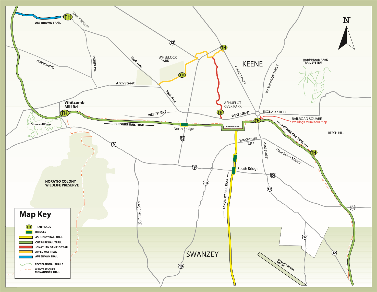
Appel Way Trail
The Appel Way Trail, a 1.23-mile, mostly shaded, paved trail, crosses the scenic Ashuelot River, with views of wetlands and wildlife along the full length of the trail. It connects to the Jonathan Daniels Trail in Ashuelot River Park. It is accessible from Court Street (near Cheshire Medical Center) and Wheelock Park, where there is free parking, access to the new Keene Bike Park, restrooms (summer only), and other park amenities.
Ashuelot River Trail

The Ashuelot River Trail is paved from Emerald Street to the South Bridge over Route 101. South of the bridge through Swanzey, it has a packed stone surface that follows the river through forests, farmlands and wetlands. Beyond Swanzey to Winchester and Hinsdale, the trail has a rough surface that leads to a recreational trail along the Connecticut River.
The 1.5-mile trail is mostly shaded, flat and straight through Keene. It is accessible from Emerald Street and the Cheshire Rail Trail and offers easy access to restaurants and shops in downtown Keene. Parking is available downtown, near the Keene State College athletics complex on Krif Road, and at various points around Swanzey.
Features include an old trestle rail bridge near the Keene State College campus that crosses the Ashuelot River, the South Bridge, whose steel frame and concrete surface provide a safe crossing over Route 101, and the Ashuelot River/KSC Bridge, a railroad trestle bridge with a wooden deck surface near the campus of Keene State College and the South Bridge.
Cheshire Rail Trail
The Cheshire Rail Trail features three sections: Cheshire Rail Trail North, Industrial Heritage Trail and Transportation Heritage Trail.
Cheshire Rail Trail North
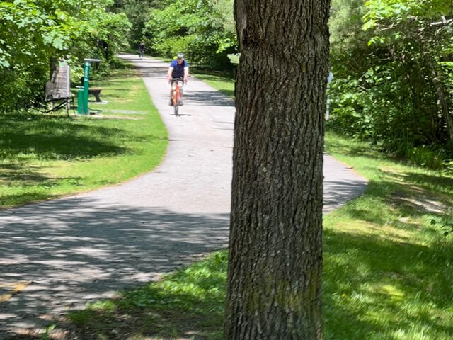
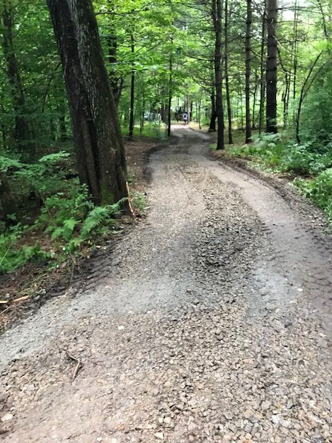
The Cheshire Rail Trail North is a 7-mile pathway from Main Street west and north to the city limits. The surface is paved from Railroad Square (Main Street in Keene) to the North Bridge, a steel and wood structure that crosses Routes 9, 10 and 12. It has a packed stone dust surface from the North Bridge to the city limits, and the surface from Hurricane Road to the Ammi Brown Trail has been upgraded. The trail is mostly flat and straight with gradual hills in some sections.
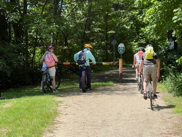
The trail passes through mostly forested landscape from the North Bridge to the city limits. Wildlife, wetlands, stone walls, and access to hiking and mountain biking trails dot its length. It provides direct access to Stonewall Farm and passes over the historic Arch Street stone arch tunnel. Glimpses of deeply carved railroad beds are visible in multiple locations. It offers proximity to the Keene Family YMCA and downtown restaurants, hotels, shops and other amenities.
Parking is available in downtown Keene, at Keene State College, Stonewall Farm, on Hurricane Road, on Whitcombs Mill Road, and on Summit Road (via the Ammi Brown Trail).
Industrial Heritage Trail
The Industrial Heritage Trail is a mile-long paved, flat and mostly shaded surface that begins in Railroad Square (downtown Keene) and proceeds south to Eastern Avenue.
Along the trail are downtown shops, restaurants and hotels and the newly completed Pat Russell Park, which has an athletics field, playgrounds, pavilion, basketball courts, restrooms, and a walking path along Beaver Brook. A bike repair station is at the Eastern Avenue trailhead, and park benches are available along the trail’s length. Parking is available at Pat Russell Park, Eastern Avenue and Keene Ice (on Marlborough Street).
Transportation Heritage Trail
The Transportation Heritage Trail runs from Eastern Avenue in Keene to the Swanzey town line. The portion from Eastern Avenue to Swanzey Factory Road is currently under construction and slated for major improvements, including a bridge over Route 101, safety features on the Stone Arch Bridge, and surface improvements continuing to the Swanzey town line.
Pathways for Keene and The Monadnock Conservancy are currently fundraising for improvements to the Transportation Heritage Trail. Please see a 3D animation of the proposed trail, donate, or learn more about how you can support our efforts.
Jonathan Daniels Trail
The Jonathan Daniels Trail connects Appel Way to Ashuelot River Park along West Street. The mile-long trail of packed stone dust parallels the Ashuelot River and features shaded woodland with opportunities for viewing wildlife.
The Ashuelot River Park has shaded gardens, a bridge over the river, seating, wildlife viewing, and access to restaurants and coffee shops. The Cheshire Rail Trail is easily accessible across West Street from the Ashuelot River Park, and Wheelock Park is a half-mile from the north end of the trail via Appel Way. Parking is available at both the Ashuelot River and Wheelock parks.